Death Valley

October 8, 2021
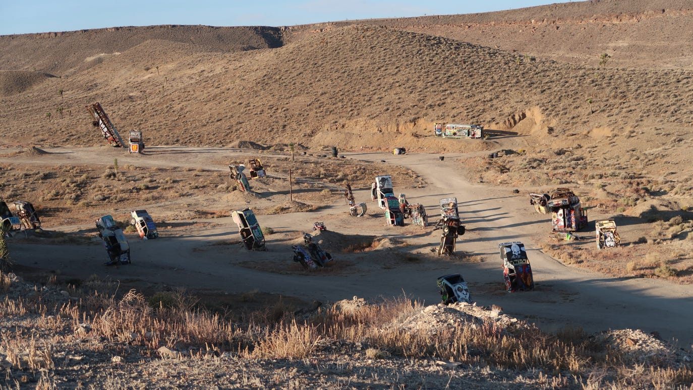
The reason we stayed in Tonopah was its proximity to the town of Goldfield, a town of about 300 people and home of the International Car Forest.

We drove south from Tonopah about a half hour on US 95, and plugged the Car Forest into our iPhone, which then took us south of town to…nothing. We turned around and tried Google Maps which found the Car Forest. Hurray. It lived up to its funky reputation, sort of in the spirit of Burning Man. It was very cold in the early morning, so the driver stayed in the warm car.
We kept heading south for another hour on US 95 to Beatty, where we went to the famous nut and candy shop.
From Beatty, we called the Death Valley Visitor Center to inquire about the road conditions on a drive we wanted to take, and the ranger said he thought today would be fine, even though there were some clouds coming and going (it was breezy). So we braved it heading toward Death Valley National Park on NV 374. After about 8 miles, we turned and took the 26-mile one-way unpaved 4x4 Titus Canyon Road.
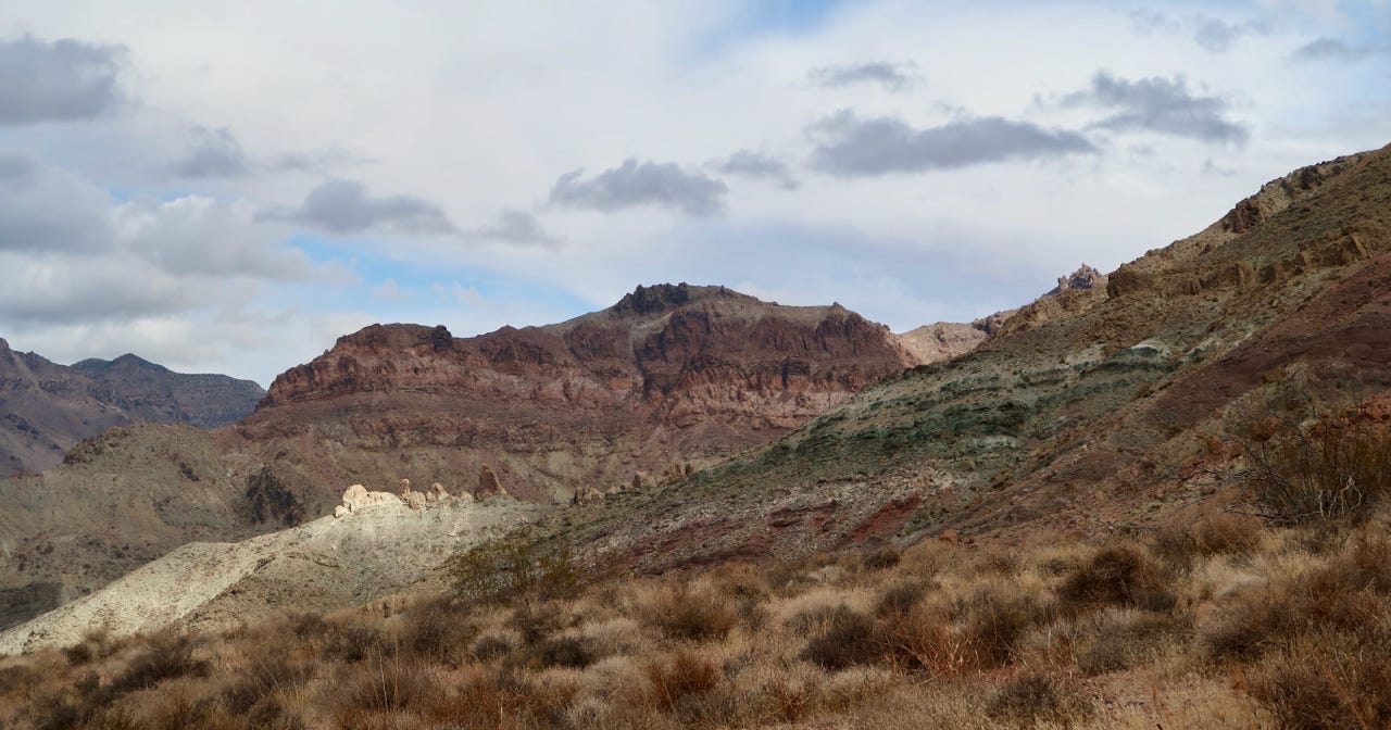
The drive took about two hours, and had spectacular views. It climbed through the Grapevine Mountains to Red Pass (5,250 feet) and then past the ruins of the mining town of Leadfield (which had a lifespan of about one year). Just below Leadfield, it entered the titular canyon, the last 1.5 miles of which were very dark and narrow. We did not see another car the whole way. The road emerges from the canyon at a trailhead and the last three miles to the highway are a two way road. We enjoyed our adventure and were glad the car and driver both did fine!
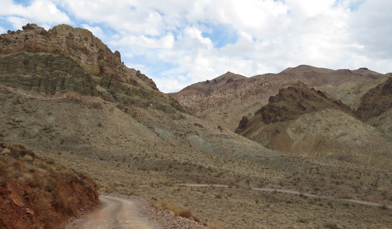
Climbing to the pass.
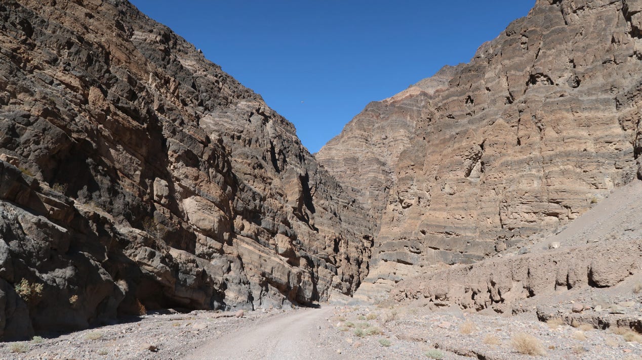
Approaching the canyon.
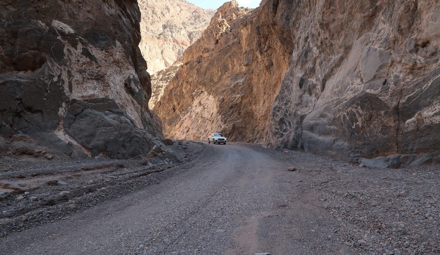
From there we drove through the center of Death Valley National Park for about 45 minutes to the Visitor Center at Furnace Creek, 190 feet below sea level. This is the location that is frequently the hottest place in the US. Today, it was fairly cool and the wind was blowing so hard, we were unable to have a picnic lunch and were forced to eat in our car (since little was open due to COVID). We had last been to Death Valley in the early 1980’s, when we stayed at Furnace Creek Ranch.
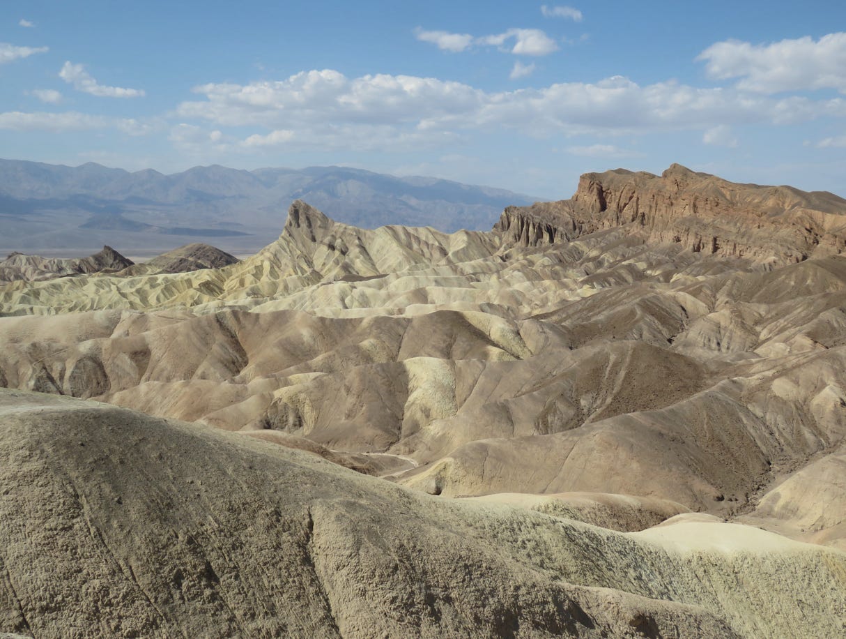
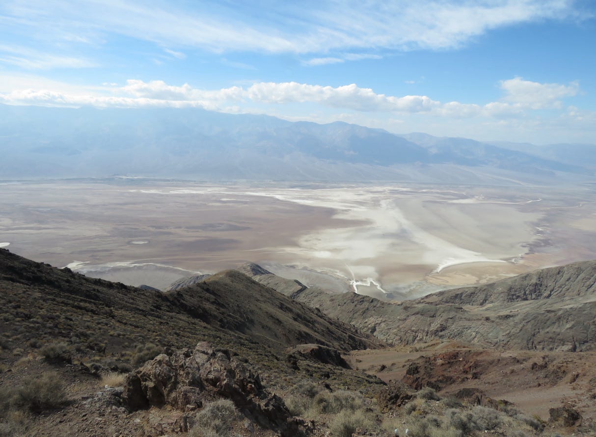
We continued on towards Las Vegas taking CA 190 east out of the Valley. We stopped at Zabriske Point (above) and then took a 13 mile drive out to Dante’s View (photo below). This has an elevation of 5,575 feet and a view of the Valley and Telescope Peak, although the visibility was still somewhat obscured by smoke. When we had visited before, the wind blew so hard and it was so cold you could stand outside for about 20 seconds. It was still windy, but not so cold this time.
We drove back to Rte 190 and headed toward Death Valley Junction (site of the famous Amargosa Opera House). We then took some back roads toward Pahrump and from there took Rte 160 through Mountain Springs to Las Vegas, where we would spend five nights, taking day trips. The map below shows most of the places we will visit.
